 https://www.synyo.com/wp-content/uploads/SYNYO-NEWS-featured-image-NEW01009401EN.png
400
459
leo
https://www.synyo.com/wp-content/uploads/2017/09/synyo-logo.png
leo2026-02-01 13:41:502026-02-03 10:18:50GreenEsteem: Project for sustainable Nature-Based Solutions through Co-Creation Launched
https://www.synyo.com/wp-content/uploads/SYNYO-NEWS-featured-image-NEW01009401EN.png
400
459
leo
https://www.synyo.com/wp-content/uploads/2017/09/synyo-logo.png
leo2026-02-01 13:41:502026-02-03 10:18:50GreenEsteem: Project for sustainable Nature-Based Solutions through Co-Creation LaunchedeMAPs

eMAPs: Shaping the future of Smart Mobility with GaliGo
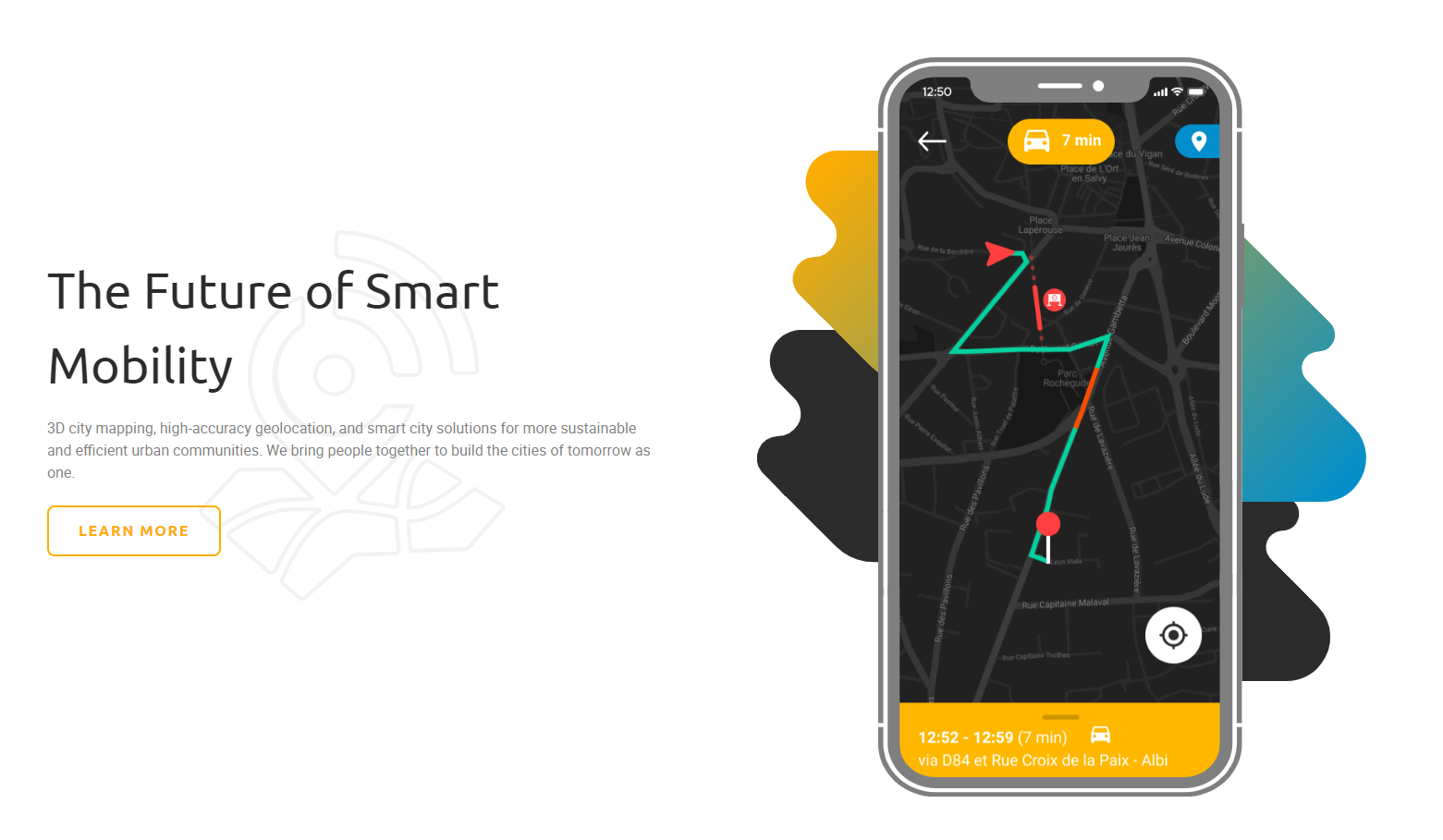
With GaliGo, the eMAPs project has started its brand-new smart city solution. GaliGo will tackle multiple modern-day problems in mobility, such as slow traffic updates, undetected road anomalies and mass traffic congestion. Based on the eMAPs platform, it will combine 3D city mapping, high-accuracy geolocation and smart city solutions to ease more sustainable and efficient travelling urban communities.
Higher accuracy and availability of GNSS – receivers (Global Navigation Satellite System receivers) are key, to enhance current navigation systems. Tackling this need for innovative new technologies, the eMAPs project has developed an enhanced GNSS receiver, which is using Galileo satellite data to develop a platform for various solutions in smart mobility and fleet management.
Modern-Day problems in urban mobility
With GaliGo, the eMAPs project has started one of its solutions for smart cities to ease more sustainable and efficient travelling urban communities. GaliGo is tackling multiple challenges which are part of day-to-day traffic. One of the main challenges is traffic congestion, which oftentimes is poorly anticipated and communicated. As it stands today, by the time traffic congestion is detected and communicated to road users, the situation has already worsened. Moreover, Roadworks, accidents, and deviations happen to be a part of daily urban mobility. While they may sometimes be inevitable, we should certainly strive to manage them by being more reactive, efficient and communicative. Not at least, deliveries of, mostly online – ordered goods and products oftentimes still are inefficient and fail to provide the service we need.
GaliGo as in-class solution for various needs
GaliGo is offering a solution to counter all of these problems with its GNSS-based solution. It is offering real-time traffic updates as an in-class solution to travel faster and safer for the benefits of the overall community. By using the latest geolocation technology and complex image recognition algorithms, GaliGo automatically detects and locates road anomalies such as holes in the road, accidents and roadwork. It, as well, provides a solution to counter troubles with missing deliveries due to unpunctual carriers or impractical schedules and provides its users well in advance with information on when they can expect their online orders to be delivered and helps to follow them accurately and in real-time throughout the entire delivery process.
Based on 3D city maps, GaliGo builds out a wide range of mobility optimization services in order to turn urban mobility into a much more fluid process, ultimately resulting in an overall significantly improved infrastructure in terms of efficiency and sustainability. Further down the line, GaliGo will leverage its technology, knowledge, and data to take urban infrastructure to a whole new level, enabling autonomous driving solutions as well as smart and more sustainable food sourcing solutions.

Figure 1: GaliGo is offering multiple solutions to tackle modern-day challenges in smart mobility
The specific added-value of the GaliGo smartphone application lies in the ability to provide real-time connected transport, real-time navigation on the road, real-time navigation from home and last-mile matching. A database will be powered by the receiver data and will be connected to a specific database, which will be powered by the receiver data. The, therewith achieved, dynamic optimisation of urban navigation will help to decrease urban congestion and equip public transport with a multitude of information, which will be visualized in a real-time HD urban map.
Further use-case on wineyard management will be developed
The eMAPs project will develop further use-cases of its platform. One of them will be DeVines, which is focusing on the use of the eHermes receiver in the field of winegrowing (viticulture). The fusion of tradition and precision viticulture will be one major outcome of the eMAPs project and will enhance human resource management, productivity and communication within the vineyard.
Links
GaliGo Info page: http://galigo.eu/
eMAPs project website: https://www.emaps.eu/
Keywords
Smart Mobility, geolocation technology, smart city, traffic management, traffic congestion


